No content to show...
DHI are the first people you should call when you have a tough challenge to solve in a water environment – be it a river, a reservoir, an ocean, a coastline, or an aquifer. Our knowledge of water environments is second-to-none. It represents 50 years of dedicated research and real-life experience from more than 140 countries. We strive to make this knowledge globally accessible to clients and partners by channelling it through our local teams and unique software. Our world is water. So whether you need to save water, share it fairly, improve its quality, quantify its impact or manage its flow, we can help. Our knowledge, combined with our team's expertise and the power of our technology, holds the key to unlocking the right solution. Satellite remote sensing of evapotranspiration (ET) is an essential part of global observation systems. It provides inputs for agriculture, water resources management, weather forecasts, climate studies and many other applications. Easy access to reliable estimations of ET is a key requirement within these domains. When ET is successfully estimated at high resolution it can map crop water stress at field scale. AI4WATER Projects Highlights: > Developing and implementing an open-source AI algorithm that merges optical, thermal and meteorological data. > The ability to get information on water stress levels for farms in Uganda. Due to the resolution, we can provide evapotranspiration information at farm level > Better insights can lead to 30% less water use for the same yield This project aims to develop and roll-out a novel algorithm for obtaining evapotranspiration and crop water stress at farm level for a large national irrigation scheme in Uganda. The site chosen for this project is Mubuku in the Kasese District. It is expected that the project can lead to 30% less water use for the same yield, which would greatly benefit the local community and farmers.
Our Documents
Our Media
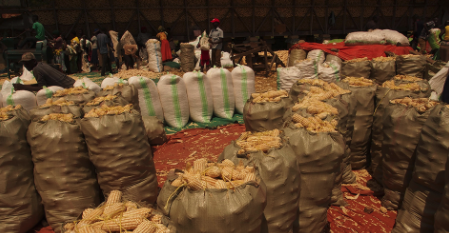
The main crops grown are maize, rice, onions and mangos
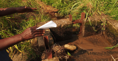
The purpose is to find out if crops are overwatered or under stress
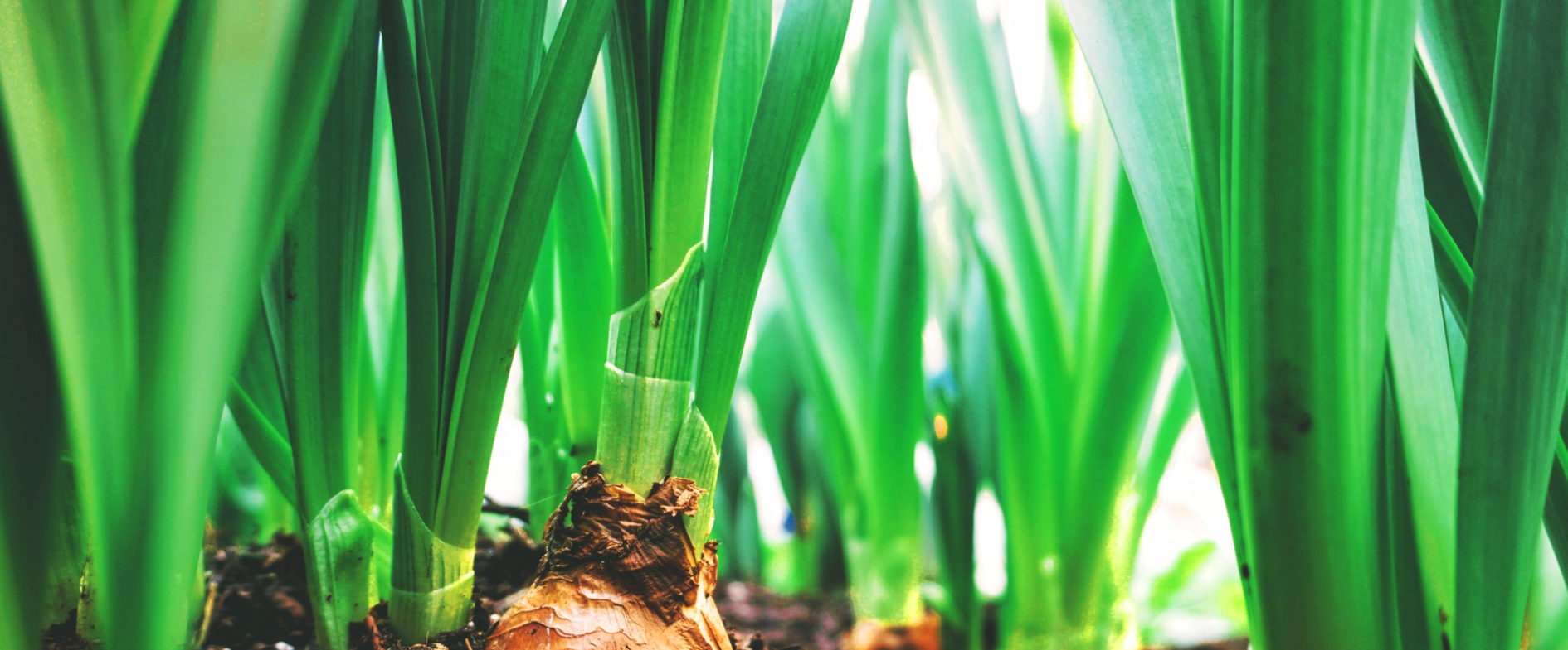
How AI and satellite data are helping farmers waste less water
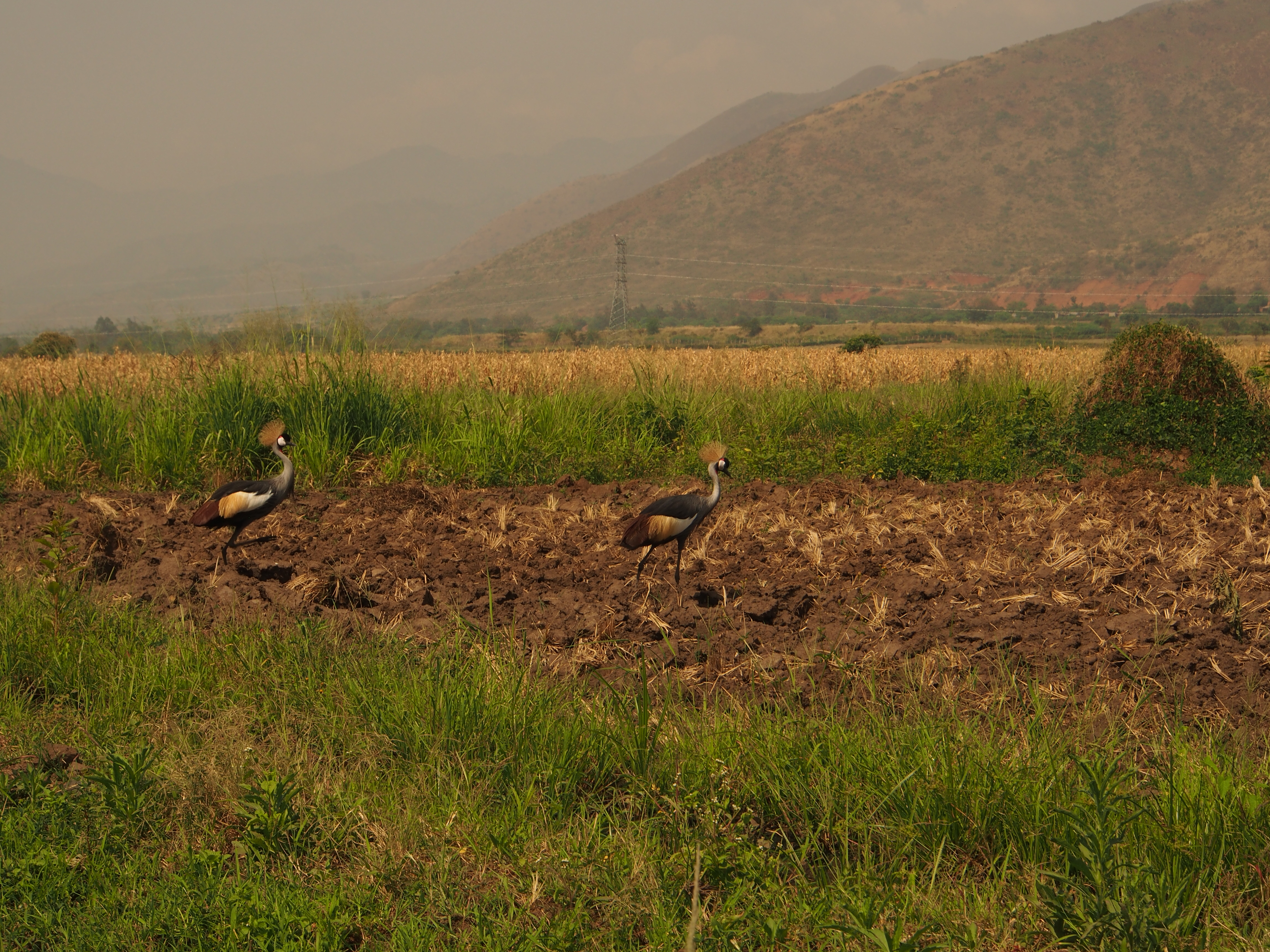
Mubuku, Western Uganda
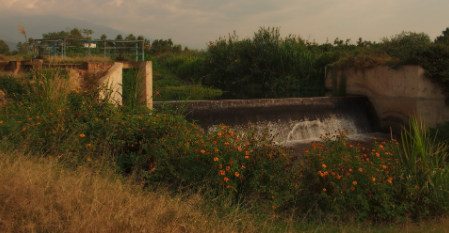
The area holds close to 2000 hectares of smallholder farms watered by drainage channels

The main crops grown are maize, rice, onions and mangos

The purpose is to find out if crops are overwatered or under stress

How AI and satellite data are helping farmers waste less water

Mubuku, Western Uganda

The area holds close to 2000 hectares of smallholder farms watered by drainage channels

The main crops grown are maize, rice, onions and mangos

The purpose is to find out if crops are overwatered or under stress

How AI and satellite data are helping farmers waste less water
.png)

